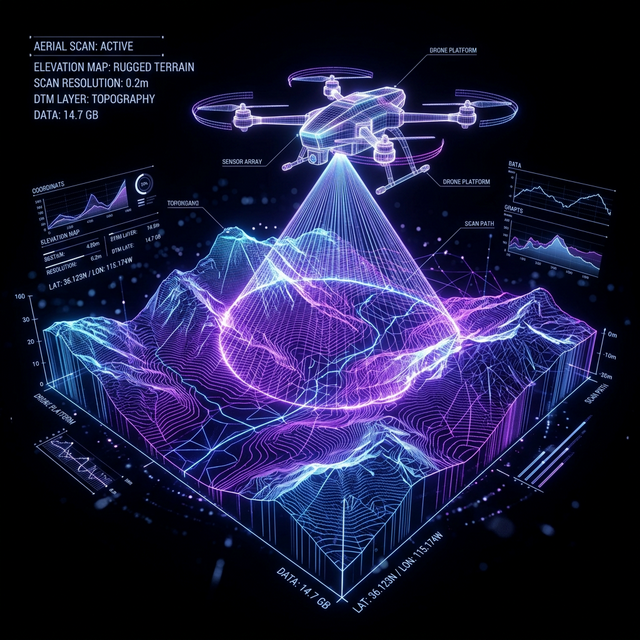
Aerial Mapping &
GIS Analytics

ZIGZEX company leverages autonomous UAV technology and advanced geospatial analytics to transform aerial imagery into actionable intelligence for engineering, infrastructure, agriculture, utilities, and public safety sectors.

View Geospatial Data
Aerial Mapping & GIS Analytics Hologram

Enterprise GIS Analytics

High-Resolution Terrain Modeling

Generate highly accurate 3D representations of terrain surfaces using advanced photogrammetry and LiDAR data for comprehensive site analysis.

RTK-Based Geospatial Mapping

Achieve centimeter-level accuracy in spatial data collection with Real-Time Kinematic positioning integrated directly into our mapping workflows.

Land Surveying

Swift, automated topographic surveys covering large land areas with unparalleled precision, reducing time and cost over traditional surveying methods.

Digital Elevation Modeling

Produce bare-earth models stripped of vegetation and structures to support accurate volumetric calculations and infrastructure planning.

About ZIGZEX Geospatial Intelligence

At ZIGZEX Aerospace Division, our Aerial Mapping & GIS Analytics enterprise provides world-class aerial data collection and analysis. We utilize advanced photogrammetry, automated UAV flight mapping, and LiDAR technology to convert vast physical terrains into precise, manipulatable 3D digital environments. By moving beyond traditional surveying, we equip our clients with rapid, cost-effective spatial data crucial for planning infrastructure, managing land development, and analyzing topographic changes over time with unparalleled accuracy.